The "Farm"
Located just 2 1/2 hours Northwest of Melbourne. The farms exact location is Latitude -36.5667 Longitude 143.5333 Altitude (feet) 823 Lat (DMS) 36° 34' 0S Long (DMS) 143° 31' 60E Altitude (meters) 250 Time zone UTC+10(+11DT) Approximate population for 7 km radius from this point: 173

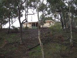
The property is 95.4 acres or 38.61 hectares is size. As you can see the land is pretty much bush and rocks. The land is incredibly rocky I guess thus Rocky Road is across Whela creek which separtates our property and Rocky road, I now know it was appropriately named! There is a three bedroom shack on the property. There is more information in the "Staying Here" section.

The farm is in the Loddon shire we use the property as a holiday house. Although it sounds nice it is a big responsiblity and should not be taken on by the faint hearted. Before you jump in and do something crazy like this make sure you understand what your responsiblities are: managing a small property by the Department of primary industries. We are not trying to deter anyone just warning you this country life is adictive!
The climate and weather of the region is similar to Melbourne except no sea breazes
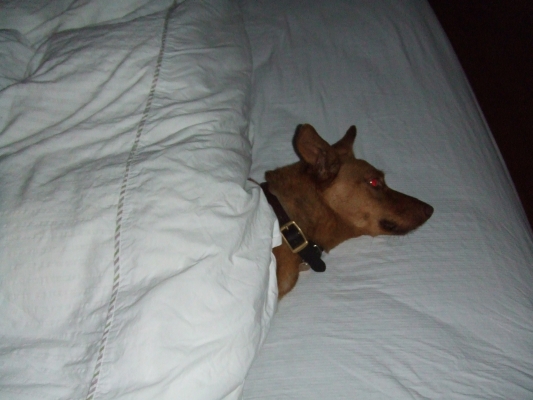
KC loves the place. Our dog chillin at the farm...

Check the weather
http://www.fallingrain.com/world/AS/7/Fentons_Creek.html
Climate Stats
http://www.bom.gov.au/climate/averages/tables/cw_079040.shtml
Living in Rural Victoria
http://www.dpi.vic.gov.au/live
Rural Law!
http://www.rurallaw.org.au/
Photos
Pictures of Fentons Creek
|
